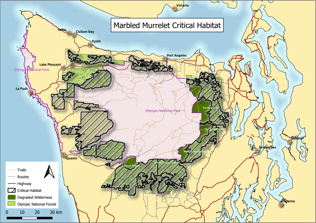
Map of Critical Habitat for Marbled Murrelet using QGIS
QGIS is a popular open-source GIS software with advanced capabilities. The QGIS GUI is especially helpful for interactive data analysis, such as data display, digitization, or map generation. In this lab, I made a map of critical habitat for Marbled Murrelet using QGIS.