To visualize the GPS data, please check out the online map.
Using Avenza Maps to collect GPS data
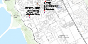
Avenza Maps can be used on mobile devices to capture GPS data. In this lab, I collected GPS locations for Placemarks on UBC campus and recorded a walk. Then I uploaded the data to Google Earth Pro and ArcGIS as KML file for further analysis.